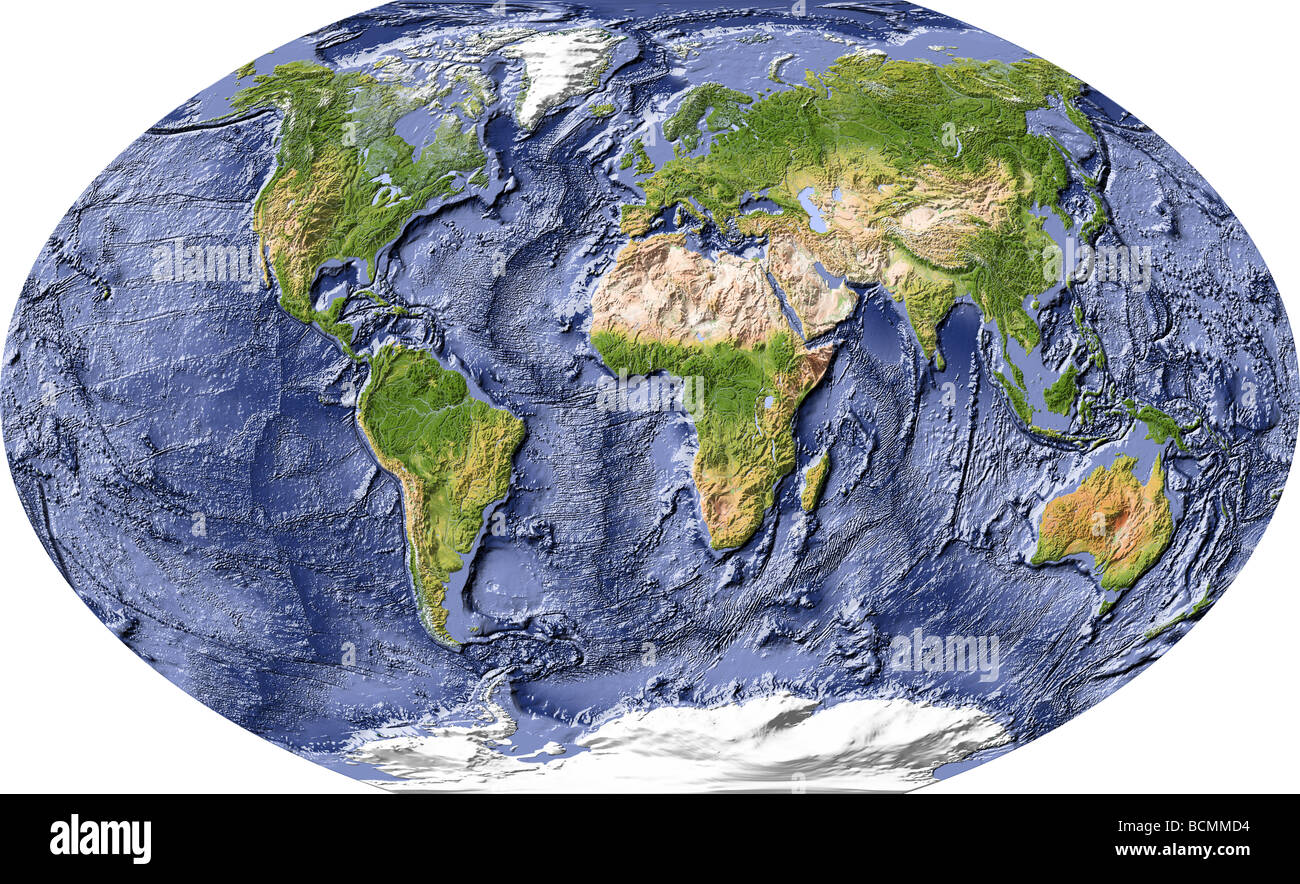
Imagine a world where 71% of its surface remains largely unexplored, shrouded in mystery. This vast, watery expanse, our own planet’s ocean, holds secrets that have captivated humans for centuries. But how do we begin to understand this enigmatic realm? How do we map its depths, its mountains, its plains, and its canyons? The answer lies in an array of cutting-edge technology, ingenious devices that venture into the unknown to reveal the ocean’s hidden wonders.

Image: www.alamy.com
The quest to map the ocean floor mirrors humanity’s insatiable thirst for knowledge and exploration. It spans centuries, from the rudimentary attempts of early navigators to today’s sophisticated sonar systems and autonomous underwater vehicles. This article dives deep into the fascinating world of ocean floor mapping, unveiling the devices that have revolutionized our understanding of the planet’s largest and least-known ecosystem.
Echoes from the Depths: The Dawn of Sonar
Before the advent of sonar, mapping the ocean floor was a laborious and fraught process. Early methods relied on lowering weighted lines or dragging chains across the ocean bed, a slow and imprecise approach. The true breakthrough came in the early 20th century with the invention of sonar, a revolutionary technology that utilizes sound waves to probe the depths and create images of the ocean floor.
Sonar, short for “sound navigation and ranging,” works by emitting sound waves that travel through the water and bounce back from objects, much like how bats navigate their surroundings using echolocation. The time it takes for the sound wave to return, known as the travel time, is directly proportional to the distance between the sonar device and the object. By calculating these travel times, scientists can create detailed maps of the ocean floor.
There are two main types of sonar: active sonar and passive sonar. Active sonar systems, the most common type used for mapping, transmit sound waves and then listen for the echoes. Passive sonar systems, on the other hand, only listen for sounds, like the sounds made by marine life.
Sonar’s Evolution: From Simple to Sophisticated
The early forms of sonar were basic, mainly used for detecting submarines and other underwater objects. However, as technology advanced, so did the capabilities of sonar systems. Modern sonar systems, such as multibeam sonar, can map vast swaths of the ocean floor with incredible precision and detail.
Multibeam sonar works by emitting a fan of sound beams that cover a wide area of the seafloor. These beams bounce back, providing a detailed profile of the seabed’s topography. The data collected by multibeam sonar can be used to create accurate 3D maps of the ocean floor, revealing not only its depth but also its features, including trenches, ridges, and seamounts.
Beyond Sonar: New Horizons in Ocean Exploration
While sonar remains a crucial tool for ocean floor mapping, other technologies have emerged, pushing the boundaries of exploration even further. One such technology is autonomous underwater vehicles (AUVs), unmanned submersibles capable of navigating and collecting data autonomously.
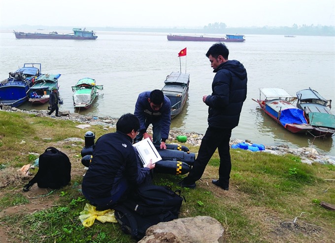
AUVs are equipped with a range of sensors, including sonar, cameras, and other instruments, allowing them to gather comprehensive data about the ocean floor. These data can be used to create detailed maps, study marine life, and even monitor environmental conditions.

Image: vietnamnews.vn
Mapping the Unknown: The Quest to Understand Our Oceans
The continuous development of ocean mapping technologies has transformed our understanding of the ocean floor. We have discovered hidden mountain ranges, vast underwater plains, and deep trenches that dwarf the Grand Canyon. These discoveries have profound implications for our understanding of plate tectonics, marine ecosystems, and the global climate.
Mapping the ocean floor is not just a scientific endeavor; it also has significant practical applications. Accurate maps of the ocean floor are crucial for:
- Navigation: Safe and efficient navigation for ships and submarines.
- Resource exploration: Locating and monitoring offshore oil and gas reserves, as well as mineral deposits.
- Environmental monitoring: Studying the impact of climate change on the ocean, tracking the movement of marine life, and identifying potential pollution sources.
- Disaster preparedness: Understanding potential tsunami hazards and aiding in search and rescue operations.
- National security: Identifying and tracking underwater objects, ensuring national security.
The Future of Ocean Floor Mapping: Unlocking the Ocean’s Secrets
The field of ocean floor mapping is continually evolving, with new technologies emerging to push the limits of exploration. These include:
- Artificial intelligence (AI): AI is being increasingly used to analyze sonar data, improving the accuracy and efficiency of ocean floor mapping.
- Synthetic aperture sonar (SAS): SAS allows for even higher resolution mapping of the ocean floor, providing detailed insights into the ocean’s geology and biology.
- Satellite remote sensing: Satellites equipped with radar systems can be used to measure the elevation of the ocean floor, providing a broad overview of its topography.
Expert Insights: The Future of Ocean Exploration
Dr. Maria Z. De Santo, a renowned oceanographer at the University of California, San Diego, emphasizes the importance of a holistic approach to ocean floor mapping: “Combining different technologies, such as sonar, AUVs, and satellite data, allows us to create comprehensive and accurate maps of the ocean floor. This approach is essential for understanding the ocean’s complex systems and for making informed decisions about its management and conservation.”
Empowering Action: How You Can Contribute
While ocean floor mapping might seem like a specialized field, there are ways for anyone to contribute to this exciting endeavor. Supporting organizations dedicated to ocean research and exploration is one step. Sharing information about ocean mapping with friends and family can create greater awareness and inspire future generations to explore the ocean’s mysteries.
Device Used To Map The Ocean Floor
Conclusion: Unveiling the Hidden Wonders of Our Planet
The relentless pursuit of mapping the ocean floor continues, driven by a shared desire to unlock the secrets of our planet’s vast, watery expanse. Each new discovery, each detailed map, illuminates the intricate tapestry of life and processes that occur beneath the surface of the ocean. In the end, the quest to map the ocean floor is not just about exploration, it is about understanding and appreciating the interconnectedness of our planet and the vital role that the ocean plays in maintaining life on earth.

:max_bytes(150000):strip_icc()/OrangeGloEverydayHardwoodFloorCleaner22oz-5a95a4dd04d1cf0037cbd59c.jpeg?w=740&resize=740,414&ssl=1)


